

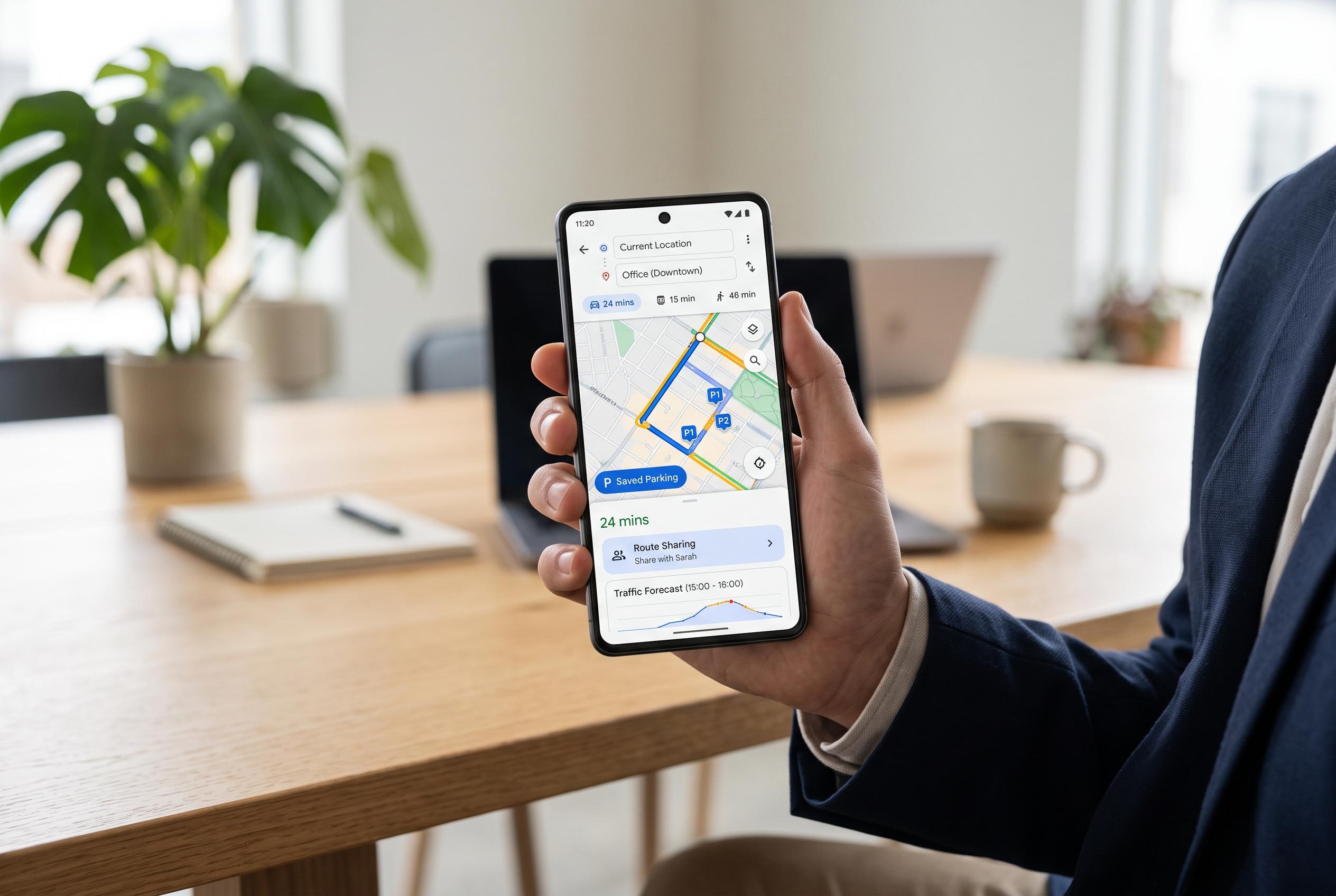

Discover practical features within Google Maps that go beyond basic navigation, including saved parking, traffic prediction, route sharing, and search along routes, offering a smarter way to plan journeys and stay organised on the road.
Google Maps is often treated as a simple turn-by-turn navigation tool, but the app contains a set of functions that are useful for drivers, commuters and anyone planning a journey in advance. Google says Maps is used by more than 2 billion people each month, yet many of those users rely only on the most obvious controls. A closer look shows that several practical options are tucked away behind menus rather than displayed on the main screen.
One of the most useful features is saved parking. After stopping the car, users can tap the blue location dot in Google Maps and choose the option to save the parking spot. The app then drops a pin marked “You parked here”, which can later be searched from the main search bar and opened for direct navigation back to the vehicle. This is especially helpful in unfamiliar cities or large car parks, where returning to the exact spot can otherwise take time.
Google Maps also lets users plan for traffic before they leave. After entering a start point and destination, the three-dot menu contains an option to set a departure or arrival time. The app then estimates how long the trip is likely to take at that chosen time, using historical traffic patterns as well as current conditions. That means a route that would normally take 22 minutes might be shown as taking between 18 and 24 minutes at another time of day, giving the traveller a better basis for deciding when to set off.
A related workaround can be used to recreate an old reminder-style feature that is no longer available in some regions, including Germany. Once a route has been planned and a departure time chosen, the route can be shared to a calendar app instead of to another person. Google Maps places the route link into the event details, allowing the user to set a reminder ahead of departure. When the alert goes off, the route can be opened straight from the calendar entry without re-entering the destination.
For drivers who need to stop for fuel, food or charging, Google Maps can search along the route rather than only at the destination. During live navigation, users can swipe up and choose “Search along route” to find nearby services. The same function is also available before starting the trip, after a route has been entered, which makes it easier to add planned stops in advance. That is particularly useful for long-distance travel, where the location of a petrol station, charging point or restaurant can shape the whole journey.
The app can also measure straight-line distance between two points. By long-pressing on a place on the map and selecting “Measure distance”, users can move the map to a second point and add more waypoints if needed. The function is not a substitute for road directions, but it is useful for estimating the scale of a building, comparing two locations or judging how far apart places are without considering roads. For users concerned about privacy, Google Maps also offers an incognito mode. According to Google’s help pages, this stops routes and visited places from being saved to the Google account, although it also disables some features, including commute routes, search history, offline maps, saved places and certain media integrations.
Disclaimer: This content is intended for informational purposes only. Readers are advised to exercise their own judgement, conduct due diligence, or consult a qualified expert before acting on any information provided.